

Dancing with the Stars: The Next Pro
Catch up with every episode so far

Who Wants To Be A Millionaire
The season premiere is here!

Celebrity Family Feud
Survey says... the latest episodes are here!

Press Your Luck
Catch up with every episode of the season so far

General Hospital
Watch the latest episodes

ABC News Live Prime with Linsey Davis
Livestream every episode here & catch the latest ABC News Live updates anytime with no sign-in needed

ABC SHOWS, SPECIALS & MORE
ABC SHOWS, SPECIALS & MORE

 Dancing with the Stars: The Next Pro
- Celebrity Family Feud
- Press Your Luck
- The Rookie
- Who Wants To Be A Millionaire
- The View
- Jimmy Kimmel Live!
- High Potential
- Scrubs
- Shifting Gears
- Abbott Elementary
- Grey's Anatomy
- 9-1-1
- 9-1-1: Nashville
- R.J. Decker
- Will Trent
- CMA Fest
- Disney Celebrates America
- American Idol
- Shark Tank
- Celebrity Jeopardy!
- The Greatest Average American
- America's Funniest Home Videos
- Good Morning America
Latest News & Updates
Latest News & Updates
 See the 2026 WNBA regular season schedule for games on ABC & ESPN
 "Golden Girls Day" is THURSDAY. Enjoy some cheesecake & celebrate here!
 Dive into National Geographic's Sharkfest 2026 now!
 The Walt Disney Company earns 125 Emmy® Award nominations in 2026. See the list!
 Check out ABC's Fall 2026 primetime TV schedule & more here!
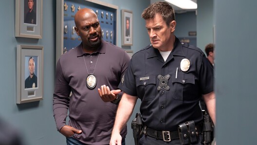 See our list of 144 reasons to love "The Rookie"
 A new season of "Project Runway" is here!
 "Good Morning America'" announces its Summer Concert Series 2026 lineup
 Catch the series premiere of "Dancing with the Stars: The Next Pro" here with no sign-in needed!
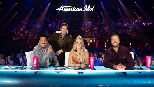 Catch every episode of this season of "American Idol" including the Grand Finale
 The Walt Disney Company earns 21 News & Documentary Emmy® Award wins & a record-breaking 96 nominations!
 School is in & so are all the latest episodes of "Abbott Elementary"
 Binge the full season of "Scrubs" from the beginning
 See what's new on "The View"
 The Grammy Awards® 2027 will air LIVE on ABC and stream on Disney+ & Hulu SUNDAY, FEB. 7, 2027
 Congratulations to Michelle Williams, a 2026 Golden Globe Award® winner for "Dying for Sex," now streaming on Hulu.
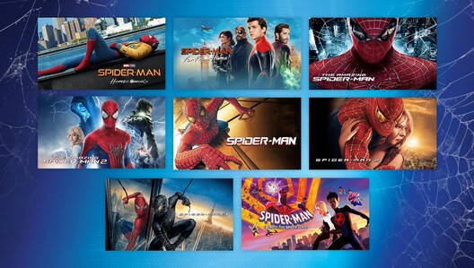 Spring into action with Spider-Man and his amazing movies on FX!
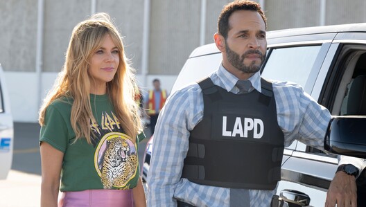 Catch the full season of "High Potential" from the beginning
 Listen to the 'Breaking News & Special Reports' podcast from ABC News
 Watch the "9-1-1: Nashville" series premiere here with no sign-in needed!
2026 Emmy® Nominees
2026 Emmy® Nominees
 Love Story: John F. Kennedy Jr. & Carolyn Bessette
- Abbott Elementary
 The Bear
- Jimmy Kimmel Live!
 Tucci In Italy
- Ocean with David Attenborough
- Welcome to Wrexham
- Shifting Gears
- The Rookie
- The Tale of Silyan
- Ghost Elephants
 The Simpsons
- Celebrity Family Feud
- Bob's Burgers
- Shark Tank
- Will Trent
- The Oscars
- 2025 Rock & Roll Hall of Fame Induction Ceremony
- Dancing with the Stars
- Who Wants To Be A Millionaire
- Alien: Earth
LIVE NOW: ENTERTAINMENT CHANNELS (11)
LIVE NOW: ENTERTAINMENT CHANNELS (11)

 Local Programming Where Available
NR
31m left

 Pretty in Pink
TV-14
31m left

 Drive Me Crazy
TV-14
91m left

 The Day the Earth Stood Still
TV-14
1m left

 Aliens
TV-MA
31m left

 The Fury
TV-MA
31m left

 This Means War
TV-14
61m left

 Barb & Star Go to Vista Del Mar
TV-MA
1m left

 Toronto Airport Uncovered
S1 E6
TV-14
31m left
 Toronto Airport Uncovered
S1 E8
TV-PG
31m left

 Secrets of the Zoo: Down Under
S2 E9
TV-PG
37m left
LIVE NOW: 24/7 NEWS CHANNELS (9)
LIVE NOW: 24/7 NEWS CHANNELS (9)


LATEST ABC EPISODES
LATEST ABC EPISODES
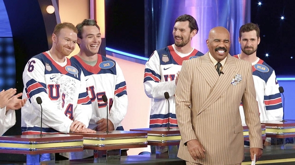 42:32Celebrity Family FeudS12 E3 - Dave Portnoy & Barstool Sports vs. Cooper Flagg and Team USA Women's Hockey vs. Team USA Men's HockeyTV-PG | 07.24.2026
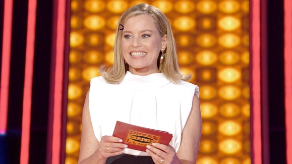 42:32Press Your LuckS7 E3 - Big Bass, No Whammies!TV-PG | 07.24.2026
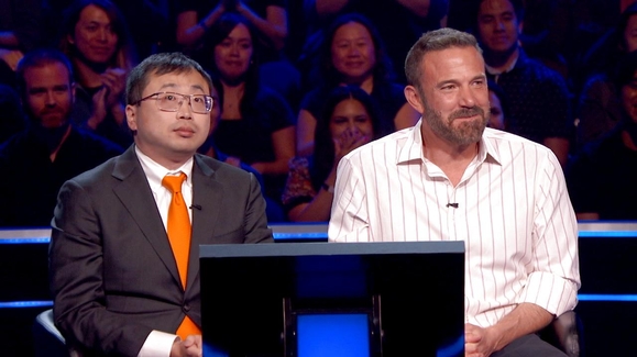 42:32Who Wants To Be A MillionaireS5 E1 - In The Hot Seat: Larry David & Cazzie David; Ben Affleck & Jamie DingTV-PG | 07.23.2026
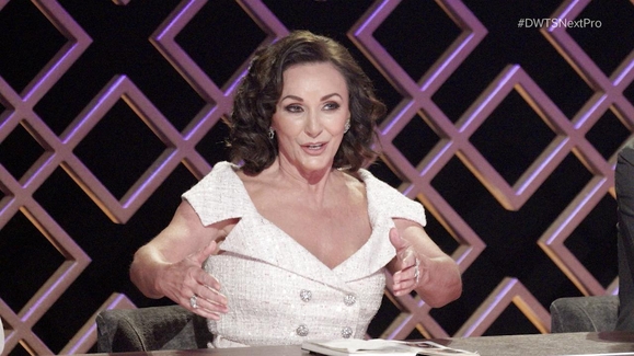 42:32Dancing with the Stars: The Next ProS1 E2 - Stories Without Words: Storytelling With Brandon ArmstrongTV-PG | 07.21.2026
 01:22:5420/20S48 E31 - Where Are You Jacob?TV-PG | 07.18.2026
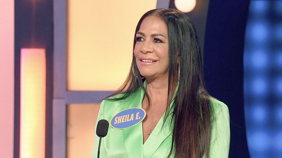 42:33Celebrity Family FeudS12 E2 - Sheila E. vs. En Vogue and Lisa Lisa vs. Taylor DayneTV-PG | 07.17.2026
 42:32Press Your LuckS7 E2 - Feels So Good in the ShowwahTV-PG | 07.17.2026
 43:26Dancing with the Stars: The Next ProS1 E1 - The Journey Begins: Technique With Derek HoughTV-PG | 07.14.2026
 40:56Celebrity Family FeudS12 E1 - AFC Champions vs. NFC ChampionsTV-PG | 07.10.2026
 42:32Press Your LuckS7 E1 - Pigskin ClassicTV-PG | 07.10.2026
 02:12:27Disney Celebrates AmericaS1 E14 - Nashville's Star-Spangled BashTV-PG | 07.04.2026
 01:25:21Disney Celebrates America: The Pursuit of HappinessTV-PG | 06.29.2026
 02:07:02American IdolS9 E16 - 916 (Grand Finale)TV-PG | 05.12.2026
 43:02Grey's AnatomyS22 E18 - Bridge Over Troubled WaterTV-14 | 05.08.2026
 43:039-1-1: NashvilleS1 E18 - Intrusive ThoughtsTV-14 | 05.08.2026
 42:569-1-1S9 E18 - Hearts and FlowersTV-14 | 05.08.2026
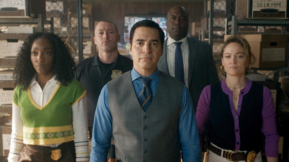 43:02Will TrentS4 E18 - Be of ServiceTV-14 | 05.06.2026
 43:02The RookieS8 E18 - The BanditTV-14 | 05.05.2026
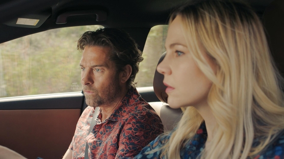 43:05R.J. DeckerS1 E9 - Even Walls Fall DownTV-14 | 04.29.2026
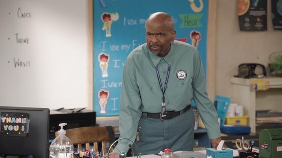 21:31Abbott ElementaryS5 E21 - Ava & FestTV-PG | 04.23.2026
POPULAR
POPULAR
- General Hospital
- 20/20
- The Rookie
- Grey's Anatomy
- R.J. Decker
- High Potential
- 9-1-1
- Toy Story 30 Years and Beyond
- 9-1-1: Nashville
- Scrubs
- Will Trent
- American Idol
- Good Morning America
- Jimmy Kimmel Live!
- Celebrity Family Feud
- Press Your Luck
- Disney Celebrates America
- Shark Tank
- Shifting Gears
- Abbott Elementary
- The View
- The Greatest Average American
- Celebrity Wheel of Fortune
- Coming Soon
COLLECTIONS
COLLECTIONS
MORE TO WATCH ON FREEFORM, FX & NAT GEO
MORE TO WATCH ON FREEFORM, FX & NAT GEO
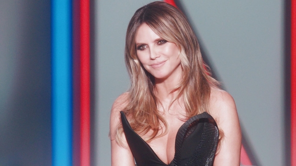
 01:01:47Project RunwayS22 E1 - 22 for Season 22TV-14 | 07.10.2026
 44:06Hammerhead Sharks Up Close with Bertie GregoryTV-14 | 07.05.2026
 44:06World's Biggest MakoTV-14 | 07.05.2026
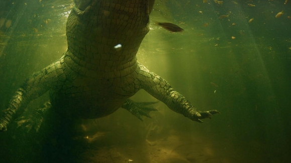 44:03Shark vs Giant CrocTV-14 | 07.05.2026
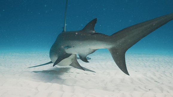 44:03Sharks Reef RivalsTV-14 | 07.05.2026
 44:03Shark Island ShowdownTV-14 | 07.05.2026
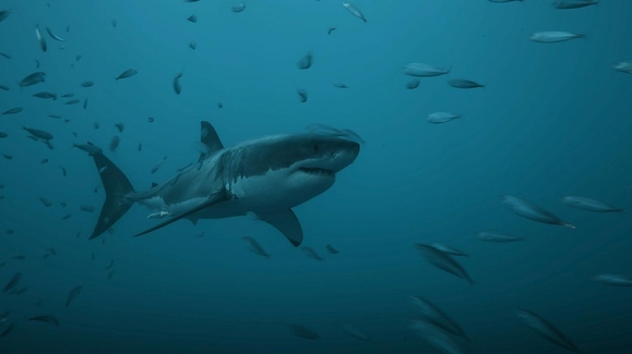 44:03Great White GauntletTV-14 | 07.05.2026
 42:03That Thrifting Show with Lara SpencerS1 E1 - The Studio EditTV-PG | 03.20.2026
 57:23Love Story: John F. Kennedy Jr. & Carolyn BessetteS1 E1 - PilotTV-MA | 02.13.2026
 44:06Tucci In ItalyS2 E1 - Naples & CampaniaTV-PG | 05.12.2026
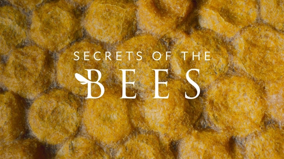 49:46Secrets of the BeesS1 E1 - The HiveTV-PG | 04.01.2026
 41:59Raising ChelseaS1 E1 - We're Having a Baby!TV-14 | 04.02.2026
 44:03Primal CombatS1 E1 - The WaterholeTV-14 | 05.03.2026
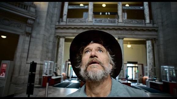 01:38:46Ghost ElephantsTV-14 | 03.08.2026
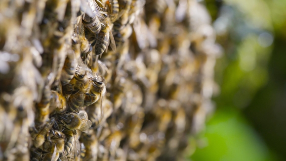 45:32Secrets of the BeesS1 E2 - The PollinatorsTV-PG | 04.01.2026
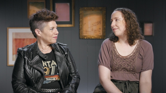 42:03That Thrifting Show with Lara SpencerS1 E2 - In My Bedroom EraTV-14 | 03.20.2026
 45:48Love Story: John F. Kennedy Jr. & Carolyn BessetteS1 E2 - The Pools PartyTV-MA | 02.13.2026
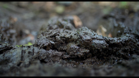 45:56Pole to Pole with Will SmithS1 E1 - The South PoleTV-PG | 01.14.2026
FREEFORM
FREEFORM
FX
FX
NATIONAL GEOGRAPHIC
NATIONAL GEOGRAPHIC
- Tucci In Italy
- Primal Combat
- Life Below Zero
- Secrets of the Bees
- Pole to Pole with Will Smith
- Ghost Elephants
- Stonehenge: The Final Mystery Revealed
- Nilgiris - A Shared Wilderness
- Hidden Beneath the Cities
- Super Animals
- Construction Fails
- Incas: The Rise and Fall
- Ancient Structures: Secrets Revealed
- Inside the CIA: Secrets & Spies
- Engineering Europe
- Danger Decoded
- Ice Road Rescue
- Vet Detective
- World War II: Secrets From Above
- The Tale of Silyan
- Cheetahs Up Close with Bertie Gregory
- Chris Hemsworth: A Road Trip to Remember
- Inside Airport Lost & Found
NEWS
NEWS
- ABC News
- Good Morning America
- World News Tonight with David Muir
- The View
- 20/20
- Nightline
- GMA3
- This Week with George Stephanopoulos
- John and Carolyn: Love, Beauty and Loss
- The Mystery of Richard Simmons: A Diane Sawyer Special
- Search for the Truth: The Amanda Knox Story
- What Would You Do?
- Localish
- Last Days of Gene Hackman: ABC News Special
- Bad Romance - A Special Edition of 20/20
What's New on Disney+
What's New on Disney+
 See 'Avengers: Doomsday' in theaters December 18. Watch the Marvel Cinematic Universe anytime on Disney+.
 Worth Another Watch: "Father of the Bride" now streaming on Disney+
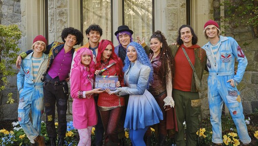 Get your first look at 'Descendants: Wicked Wonderland' now streaming on Disney+
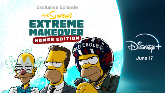 Three all-new episodes of "The Simpsons" set to stream exclusively on Disney+ globally this summer
 "Celebrity Wheel of Fortune" to stream 10 all-new episodes exclusively on Hulu & Disney+ in June 2026
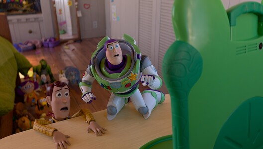 See "Toy Story 5" in theaters June 19. Watch 'Toy Story 1-4" anytime on Disney+!
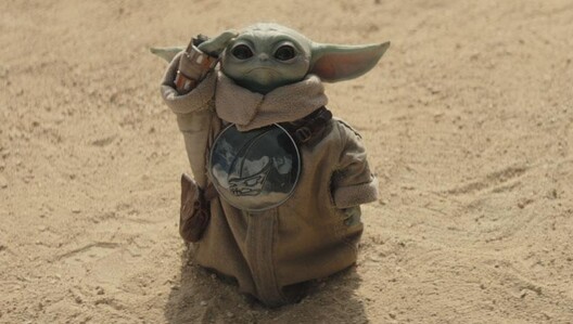 See 'Star Wars: The Mandalorian and Grogu' in Theaters May 22 & Stream "The Mandalorian" Anytime on Disney+
 "Daredevil: Born Again" Season 2 is now streaming on Disney+
 Watch the "Descendants/ZOMBIES Worlds Collide: Concert Special" this month on Disney+ & Disney Channel
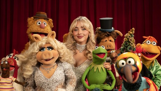 "The Muppet Show" special event is now streaming on Disney+
 Watch "Wonder Man" now streaming on Disney+
 New weekday news show "What You Need to Know" is now streaming on Disney+
 Taylor Swift brings the streaming event of an era to Disney+
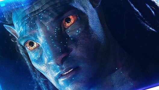 "Fire And Water: Making The Avatar Films" is now streaming on Disney+
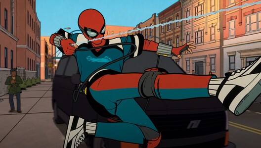 "Your Friendly Neighborhood Spider-Man" is now streaming exclusively on Disney+
 Disney+ has a new 24/7 always-on stream for THE SIMPSONS!
 Get the inside scoop on "The Kingdom" on ESPN, ESPN+, and Disney+
- Dive into National Geographic's Sharkfest 2026 now!
What's New on Hulu
What's New on Hulu
 The Bonnaroo Music & Arts Festival, Lollapalooza & Austin City Limits Music Festival will stream live across Disney+ & Hulu in 2026.
 Hulu's Latest Schedule: See what's headed your way all month long
 Hulu's "Get Real House" Event 2026: Get the Inside Scoop!
 Get your first look at "Not Suitable for Work" premiering June 2
 Watch "The Testaments" now streaming on Hulu
 "Lisa Ann Walter: It Was an Accident" is now streaming on Hulu
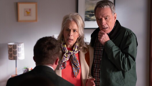 "Malcolm in the Middle: Life's Still Unfair" premieres April 10, 2026
 Get your first look at "Mike & Nick & Nick & Alice" now streaming on Hulu
 "Eric Dane: Life, Loss & Courage – A Diane Sawyer Special" is now streaming on Disney+ and Hulu.
 Season 2 of the hit Hulu Original "Paradise" is now streaming
 "The Kardashians" Season 7 is now streaming on Hulu
 'Only Murders in the Building' Season 5 is now streaming on Hulu
 88 Revenge-y memories to celebrate "Revenge" streaming on Hulu
 Take a "Modern Family" quote quiz & watch the complete series on Hulu
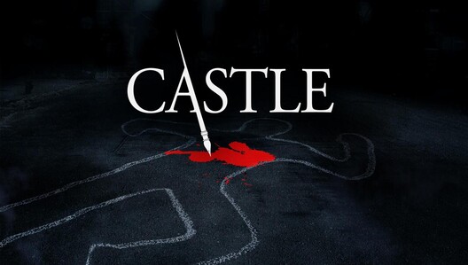 Watch "Castle" now streaming on Hulu
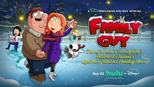 "Disney's Hulu's Family Guy's Hallmark Channel's Lifetime's Familiar Holiday Movie" is now streaming
 The three-episode series premiere of 'All's Fair' is now streaming
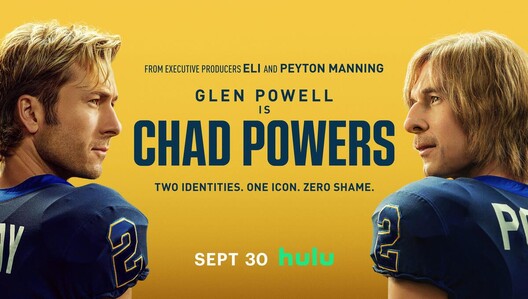 "Chad Powers" Season 1 is now streaming on Hulu
 Take "The Goldbergs" Quiz on '80s Movie Trivia & Watch the Complete Series on Hulu
 Watch "The Twisted Tale of Amanda Knox" now streaming on Hulu
ABC News Updates
ABC News Updates
- "Good Morning America'" announces its Summer Concert Series 2026 lineup
 Listen to the all-new podcast 'The Snare' with new episodes Tuesdays beginning June 16
 "The View" expands into weekends with a new streaming series, "The Weekend View"
 The heat is on with 8 of 2026's most compelling true crime podcasts
 Watch 'ABC News Live Weekend' on Saturdays & Sundays
 Listen to the all-new 'Blood and Water' podcast with new episodes Tuesdays
 Watch the all-new special "Bruce Springsteen: Backstage and Backstreets"
 Listen to the all-new 'Bridge of Lies' podcast with new episodes Tuesdays
 Everything you need to know about the market is in the "Wall Street Now" podcast
 The "Tech Trends" podcast brings the cutting edge home to listeners
 Get into the heart of movies, music & more twice daily with the "ABC Entertainment Update" podcast
 Listen to the All-New "The Hand in the Window" Podcast from 20/20 & ABC Audio
- Listen to the 'Breaking News & Special Reports' podcast from ABC News
 Catch up with all the latest episodes of 'Nightline'
 Catch up with the latest episodes & more in the ABC News Collection
 Watch ABC News Live - No sign-in needed!
 Listen to all episodes of the "What Happened to Holly Bobo?" podcast here
Disney Celebrates America
Disney Celebrates America
- 01:25:21Disney Celebrates America: The Pursuit of HappinessTV-PG | 06.29.2026
- 02:12:27Disney Celebrates AmericaS1 E14 - Nashville's Star-Spangled BashTV-PG | 07.04.2026
 41:40Disney Celebrates AmericaS1 E1 - America the BeautifulTV-PG | 07.03.2026
 01:56:48Disney Celebrates AmericaS1 E9 - Hometowns and HeroesTV-PG | 07.04.2026
 01:29:36Disney Celebrates AmericaS1 E11 - Dreamers and InnovatorsTV-PG | 07.04.2026
 01:24:46Disney Celebrates AmericaS1 E5 - GMA's 50 States in 50 weeks - Part 1TV-PG | 07.04.2026
 01:30:54Disney Celebrates AmericaS1 E6 - GMA's 50 States in 50 weeks - Part 2TV-PG | 07.04.2026
 42:07Disney Celebrates AmericaS1 E3 - Party across AmericaTV-PG | 07.04.2026
 01:33:29Disney Celebrates AmericaS1 E7 - Dawn in AmericaTV-PG | 07.04.2026
 02:02:46Disney Celebrates AmericaS1 E8 - Good Morning America (Special Edition)TV-PG | 07.04.2026
 20:12Disney Celebrates AmericaS1 E12 - World News Tonight with David Muir (Special Edition)TV-PG | 07.04.2026
 19:28Disney Celebrates AmericaS1 E4 - Nightline (Special Edition)TV-PG | 07.04.2026
 28:59Disney Celebrates AmericaS1 E2 - Pre-Party across AmericaTV-PG | 07.03.2026
 21:40Disney Celebrates AmericaS1 E13 - Countdown to Nashville's Star-Spangled BashTV-PG | 07.04.2026