Who We Serve |
What We Do |
What You Gain |
|
Provide:
|
Knowledge and support to start a production agriculture business |
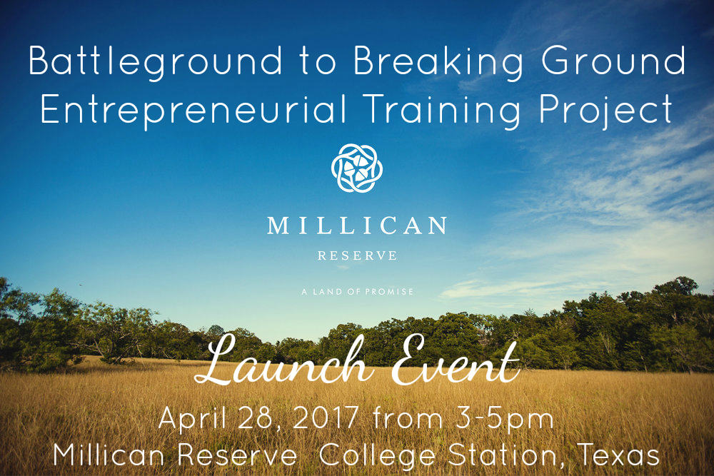
Join Us for the Ground Breaking & Launch Event
RSVP HERE
We Need Mentors!
We are looking for current producers willing to mentor veterans and beginning farmers and ranchers. Here is a quick video about the mentorship program.
For more information, please contact:
Erin Kimbrough at (979)847-6185 or empilosi@ag.tamu.edu
B.J. Leggett at (979)862-1926 or Bruce.Leggett@ag.tamu.edu
Resources for Veteran Farmers & Ranchers
Check out the video of Erin Kimbrough and B.J. Leggett’s presentation for the AgrAbility Virtual National Training Workshop on Resources for Veteran Farmers/Ranchers.